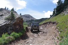
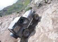
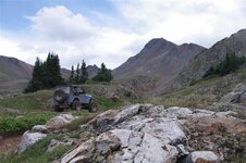
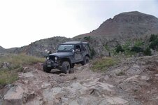
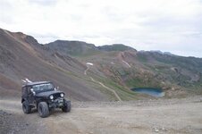
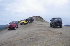
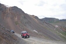
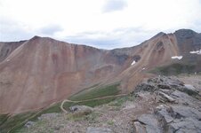
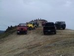
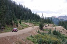
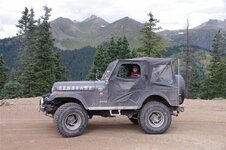
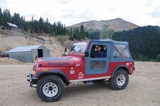
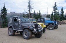
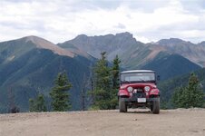
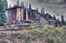
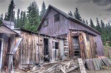
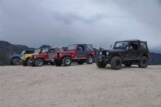
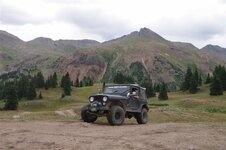
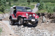
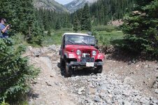
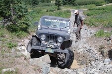
Sixth Annual Colorado Jeep-CJ Trail Report

Sixth Annual Colorado Jeep-CJ Trail Report
Day 4 (Actually day three of trail riding.)

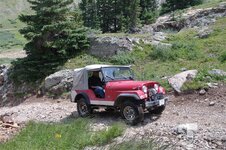
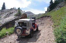
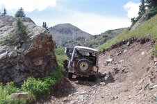
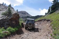
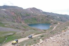
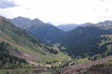
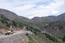
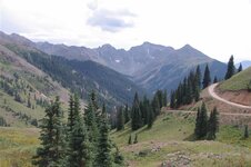
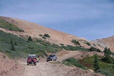
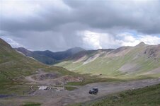
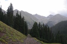
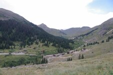
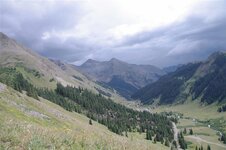
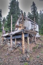
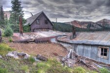
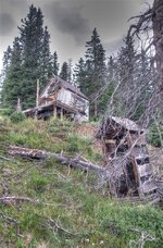
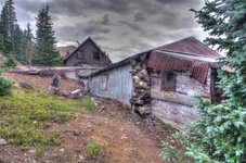
Tuesday was Lady’s day. I think all three of our ladies had wheel time and did a right creditable job of it. Carol was a bit apprehensive at the beginning but quickly proved that she is as good as me (if not better) behind the wheel. This wasn’t an easy day either – they drove Engineer Pass and Lower Engineer Pass Trail as well as Animas Forks Ghost Town.

Lots of pics. I had nothing better to do. Now if I can just figure out how to post them.
 
At some point on this day, I was kindly informed that I needed lower gears in my Dana 20
 
[FONT=&quot]Tuesday 16th[/FONT]
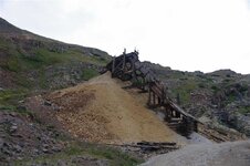
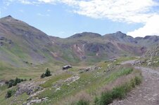
[FONT=&quot]Animas Forks Ghost Town[/FONT]
[FONT=&quot]Engineer Pass[/FONT]
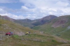
[FONT=&quot]Lower Engineer Pass trail[/FONT]
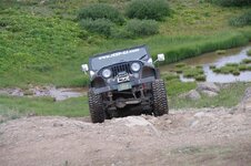
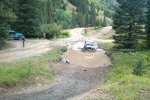
[FONT=&quot]Oldjeeplady taking on the mud[/FONT]

OJL%20mud%20hole%208-16-16%20Custom_zpsneqdy42e.jpg

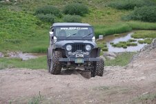
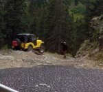
[FONT=&quot]Posi climbing a rock[/FONT]

20mud%20hole%20rock%208-16-16%20Custom_zpsxhwkm35y.jpg

[FONT=&quot]OJL following[/FONT]

20mud%20hole%20rock%208-16-16%20Custom_zpsksfo55ha.jpg

[FONT=&quot]Bass and Posi just having some fun. [/FONT]
[FONT=&quot]Sorry, I just couldn’t resist having a little fun with this video!
[FONT=&quot](Must be viewed in[FONT=&quot] full screen. [FONT=&quot]Click the "VIDEO" [FONT=&quot]link to go directly to YouTube[/FONT][/FONT])[/FONT][/FONT]
[/FONT]
[FONT=&quot]VIDEO:[/FONT]
To view this content we will need your consent to set third party cookies.
For more detailed information, see our cookies page.

[FONT=&quot]Shooby showing us how it’s done with Posi’s help[/FONT]

Phil%203%20wheels%20Custom_zpsaj6hhqx8.jpg

[FONT=&quot]VIDEO:[/FONT]
To view this content we will need your consent to set third party cookies.
For more detailed information, see our cookies page.

WP_20160816_003%20Custom_zpspcn8uced.jpg


WP_20160816_001%20Custom%202_zpspazudk0r.jpg


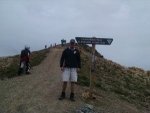
[FONT=&quot]On top of the world[/FONT]

IMG_0049%20Custom_zpsvub7pvvj.jpg

Edited by CJ - embedded videos
 
Last edited:
29217265401_908d5b2db7_b.jpg


29217265151_c313f0cae6_b.jpg


29187743932_cb975704ed_b.jpg


29007739410_199d65b2c9_b.jpg


29262016286_a7ba117701_b.jpg


28675137323_b36df9f2a9_b.jpg


29187742282_bfdd229133_b.jpg


28675126773_951e210c58_b.jpg


29262026816_50a43ee928_b.jpg


29187740642_7292388efd_b.jpg


29295807355_25df57d91d_b.jpg


29295806875_0cb65aff64_b.jpg


Video Of Bass

 
Day 4 - Wednesday, August 17, 2016
Hurricane Pass, California Pass, Placer Gulch, Picayune Gulch, Cinnamon Pass, American Basin

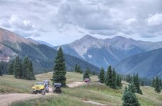
After we had breakfast we headed north. There are two ways to head out the north end of Silverton. Yesterday we went North-north-east. This morning we headed northwest. The first couple miles were two wheel drive. At the Gladstone mining area we locked our hubs and shifted into four wheel drive. We passed the turnoff to Corkscrew pass and started up Hurricane pass. We passed this mining shoot:
29043950401_be6ae9a6f3_b.jpg
The climb was steep. The transmission temp light on Ben's pickup came on and he stopped to let it cool down.
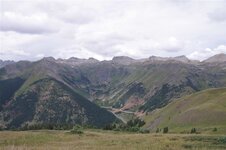
I shot this picture of the direction we came from. Corkscrew pass is visible on the distant mountain.
28502070243_3875254b5c_b.jpg
After a short delay we continued to climb
29043949941_107f84c51b_b.jpg
From the top I took another picture back the direction we came from
28502069873_3019f8d22a_b.jpg
This next picture looks forward down Poughkeepsie Gulch. We won't be going down there today. Instead we head to the right (east).
29088211266_cae79493df_b.jpg
Another view down Poughkeepsie Gulch:
29043949371_21761bd2e2_b.jpg
28502068883_1d5f504459_b.jpg
29015563612_cb7e999a3d_b.jpg
This next picture is at Hurricane Pass
28502069383_b2c78924eb_b.jpg
28502068173_3c9eb6bd0e_b.jpg
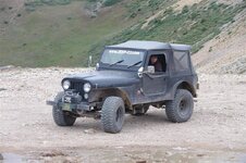
Here's Chuck's "new" 1969 Jeep CJ5:
29015562912_da543a6344_b.jpg

29015562492_140a1e4038_b.jpg
After Hurricane Pass we headed down into California Pass.
28502067003_726614d269_b.jpg
From Hurricane Pass we continued on to California Pass. It's not far between these 2 passes and we can still see Lake Como in the background.
29015561722_31ca105a2d_b.jpg

29121067565_49956ed3f0_b.jpg
California Pass
29088213576_990f2e4e37_b.jpg
Arriving at California Pass
29088209926_74a0f8e733_b.jpg
Lake Como
https://c7.staticflickr.com/9/8540/29015560702_39f80bd2c5_b.jpg[/img][/url]
My 1979 CJ5 at California Pass
https://c7.staticflickr.com/9/8404/29088212646_0bd42bda6f_b.jpg[/img][/url]
Break at the top of California Pass
29015559522_8f6fb2615b_b.jpg
Lake Como from California Pass
29121066685_cf708dccd3_b.jpg
28502105183_8cd7998176_b.jpg
29088211676_edc2874994_b.jpg
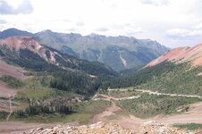
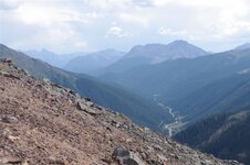
From California Pass we looked down California Gulch. This is a textbook example of a glacial (U shaped) valley.
29088255246_927ab2b949_b.jpg
Lake Como (again)


We descended into California Gulch and I took this next picture looking back to California Pass.

29088254716_c8421cd7b3_b.jpg
We turned out of California Gulch into Placer Gulch
28502102913_f2fe015a95_b.jpg
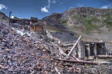
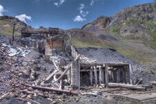
There was this mine in Placer Gulch.
29121127115_ca01f5bd4f_b.jpg
28502101733_b66f102ecb_b.jpg
We stopped for lunch at another mine at the top of Placer Gulch.
29121122285_abf849f1ea_b.jpg
29121121225_faa62ab24b_b.jpg
29121120155_853b6e5af8_b.jpg
29121126155_05e05bcede_b.jpg
29121119165_bc23201af8_b.jpg
We could see rain coming up Placer Gulch and decided to head out.
29121117845_a69d30118c_b.jpg
After heading over the top of Placer Gulch we headed down Picayune Gulch and it started to rain.
28502100593_02eff02d72_b.jpg
It stopped raining. After Picayne Gulch we went past Animas Forks. In this next picture you can see Califonia Gulch in the background behind Animas Forks Ghost Town.
29121125075_f4d628cc6e_b.jpg
Then we climbed Cinnamon Pass. It looks like the rain might start up again in this next picture.
29121124535_5ccee91a76_b.jpg
We stopped at the top of Cinnamon Pass
29121123795_9d20e4843b_b.jpg
Then we continued down the other side
29121123205_b8a9891ef4_b.jpg
Then we turned off into a spur that lead us into American Basin
28653878794_c1733ea55a_b.jpg
29168382752_8209bae0d8_b.jpg
28653878194_1011e1f709_b.jpg


29168381252_4935f28865_b.jpg
Phil's, I mean Shoobie's 1978 CJ5


After American Basin we headed back the way we came, over Cinnamon Pass
28653877684_b55b01885e_b.jpg
29168380092_05ef29b58c_b.jpg

Map of today's route: Spotwalla Trail Map
 
Last edited:
Wednesday we headed out of Silverton a different way and went around Gladstone Mountain, a beautiful trail I’d never been on. From there we dumped out near Hurricane Pass then on to California Pass. We had lunch at Placer Gulch then headed on to Picayune Gulch where we ran into some rain and sleet.

We came back to Animas Forks where it was time for a restroom break. I went in and made sure to not let my phone slip off my belt and into the nasty depths. Before I sat down, I set it on the handicap rail where it was safe. It was very safe there, so safe that someone else found it hours later! While we were at dinner in Silverton that night, I got on my wife’s phone and did a Find My iPhone and sure enough, it showed up in Lake City. I set it up to alert the finder and to have them call me – and they did right away. He mailed it out and it showed up at my house several days later. SO happy!

Anyway back to the trip – after leaving Animas Forks, we then took Cinnamon Pass over and down to American Basin where we turned around and headed back.
 
[FONT=&quot]Wednesday 17th[/FONT]
[FONT=&quot]Hurricane Pass, California Pass, Placer Gulch (Lunch), Picayune Gulch (rain), Cinnamon Pass, turned around in American Basin[/FONT]
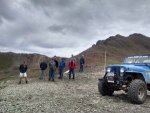
[FONT=&quot]L to R: Ben, Shooby, Bass, Posi, BusaDave, Rad, 007, BillD[/FONT]

IMG_20160817_111206568_HDR%20Custom_zps1rmxmh5y.jpg


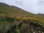
[FONT=&quot]Sheep on the hill side. Hard to see, but all the little white dots in the distance are sheep[/FONT]

IMG_20160817_121458814%20Custom_zps5gtih6v7.jpg

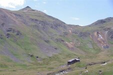
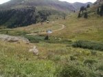
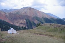
[FONT=&quot]Sheep herders tent[/FONT]

IMG_20160817_121640144%20Custom_zps4izgxw5o.jpg


[FONT=&quot]Ben[/FONT]

IMG_20160817_114058547%20Custom_zpsucyxdotp.jpg


IMG_20160817_113917677%20Custom_zpskko9wwze.jpg
 
29187732752_c788b4ab06_b.jpg


28673266224_b9358ecc1d_b.jpg


29262008486_16564aa926_b.jpg


29217251841_0ceda5fe77_b.jpg


29295800155_e58830ef8e_b.jpg


29262006976_6444a7a3b3_b.jpg


29217249761_427f5ea81d_b.jpg


29217248371_6979647f3a_b.jpg


28673299744_8dd58806c9_b.jpg


Sheep
29262005486_abd3854e3c_b.jpg


29217245931_633e99cd72_b.jpg


29217245481_b6d45a55f5_b.jpg


29217244561_9bbd93eac2_b.jpg


29217244271_6442e95b7c_b.jpg


29187724992_2b88fce03a_b.jpg


29295795155_d04741c001_b.jpg


29217243271_533ecf9f32_b.jpg


29187724102_1c9e3760a6_b.jpg


29187723582_029ac189e3_b.jpg


29217242191_968929196b_b.jpg


29187723192_d15c80d8c7_b.jpg


29262002466_3ab155bb10_b.jpg


29007712610_14ba31d173_b.jpg
 
Last edited:
Day 5 (Or Day Four if you count like the others do.)

Just another lazy day in paradise. We drove three passes, Hurricane, California and Cinnamon. Two gulches, Placer where we had lunch and played some Jeep games, and Picayune where it rained on us. We also went to American Basin which we had not visited previously.

Read more: http://www.jeep-cj.com/forums/f63/s...-trail-report-26627/index3.html#ixzz4ImAqcpkV
 
Thursday was my last day, but it was my wife’s first time at the wheel of my CJ – ever. We took US550 out of Silverton to the head of Brooklyn Trail. This is a little 45minute up and down that takes you over Red Mountain Pass at about 12,800 or so. It’s a P E R F E C T beginner trail and I must say my wife did an excellent job. She was nervous at first, but she listened and nailed it!

When we got done we drove on up US550 to the head of Corkscrew Gulch (one of my favorites). We took this trail up and back in to the basin behind the Red Mountains. We found a perfect camping spot (for next year) around treeline. We took this trail (and a few others) and wound up back in Silverton

Here’s a quick video of us heading back to Colorado Springs on US50 on Friday between Salida and Canon City…love this stretch of road…
https://www.youtube.com/watch?v=HLuPHY-LruI
To view this content we will need your consent to set third party cookies.
For more detailed information, see our cookies page.
 
Last edited:
Day 5 - Thursday, August 18th, 2016
Brooklyn Trail, Corkscrew Pass

Thursday morning after breakfast we headed out onto highway 550 for a few miles before locking our hubs and heading up Brooklyn Trail. This trail starts off very steep but levels out at higher altitudes.
29121117295_2470cd268e_b.jpg


29121116405_355430d5ed_b.jpg
Carol arriving at Brooklyn Mine with Bill as a passenger
28502158823_43a705acfe_b.jpg
Khara arriving at Brooklyn Mine with 007 as a passenger
29088314476_c473b00269_b.jpg
We took a quick break at Brooklyn Mine
29088313706_e14f80e862_b.jpg
Posi's 1969 CJ5
29088313116_b55be76d6c_b.jpg
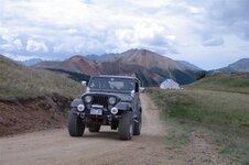
MrIPlayBass and OldJeepLady's 1979 CJ7
29088312526_23fea99f26_b.jpg
29088308956_776a922ea4_b.jpg
We did a little exploring of the old mine.
29088308146_5cd948c0ba_b.jpg
29088307396_46c45f247a_b.jpg
29088306986_0fcd3fff5d_b.jpg
29088305896_7d61d1cc44_b.jpg
29088305076_8ca73722e8_b.jpg
29088312156_7989528460_b.jpg
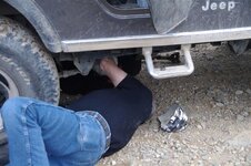
Bill noticed a noise from his undercarriage as we arrived at the mine.​

A strap for Bill's rear drive shaft came loose. This was a mild trail so Posi helped Bill remove his drive-shaft so he could continue in front wheel drive.

It wasn't much further to the top of the trail.
29088311556_b57a226a73_b.jpg
We passed a Sheep Herders tent on Brooklyn Trail
29088311126_0bccc71f57_b.jpg
29088304286_df6e315187_b.jpg
29088310626_f74e574109_b.jpg
After Brooklyn Trail Bill went back to town to find some bolts to fix his drive-shaft. The rest of us continued on to Corkscrew Pass.
As we climbed Corkscrew Pass we came across a shortcut. I turned left but used my CB to tell the others that going right was the easy way and turning left was a very steep climb. We would meet back up at another fork ahead. I didn't know who was following me and who took the easy path. I didn't want to delay in reaching the next fork or else some may loose the rest of us.
29088310166_b58e12e9f9_b.jpg
I then realized everyone took the steep path with me.
29088309516_89c0f22621_b.jpg
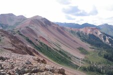
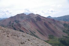
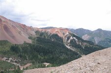
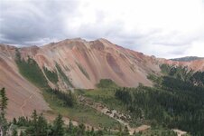
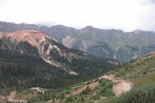
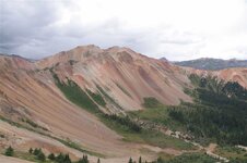
Corkscrew Pass goes over the Three Red Mountains. They are red from the iron that oxidizes.
29088303766_c6e508bf03_b.jpg
29088303086_3d9ac63574_b.jpg
28499347764_0cc7d0b896_b.jpg

29088385716_d4de6a0de4_b.jpg
OldJeepLady arriving at the top of Corkscrew Pass
29088384646_4ab828e620_b.jpg
From Corkscrew Pass we could see Storm Peak
28834459120_032da5247b_b.jpg
Group Shot at the top of Corkscrew Pass
29015720302_47769f3633_b.jpg
Posi and Rad descending Corkscrew Pass
29088383976_faed36266b_b.jpg
Another shot of Storm Peak​

As we went down the east side of Corkscrew Pass we encountered a few jeeps. We turned off onto a spur to avoid them.

29015719552_756f071889_b.jpg
Chuck and Rad
29088383176_9bc80f0909_b.jpg
MrIPlayBass and OldJeepLady​

After we arrived at Silverton we all helped Bill repair his drive-shaft.

28653877134_1ac2a28b77_b.jpg
Posi and Bill's 1980 CJ5
29168378602_40098cba71_b.jpg
MrIPlayBass brought all kinds of tools, even an impact wrench
28653876234_1c621986d6_b.jpg


Map of today's route: https://spotwalla.com/tripViewer.php?id=1210a57c1a508a332e
 
I enjoyed going up Cork Screw Pass. The twist and turns, roller coaster like, with a smell of balsam in the first part of the trail had a home feel to it.


29217240081_4851026390_b.jpg


29217238371_219c87488a_b.jpg


29007704090_5132d3d585_b.jpg


28673263894_f732847e15_b.jpg


29007703640_e9a1eec1fc_b.jpg


28675107483_dd5456dffa_b.jpg


29007703270_664b7a9bfb_b.jpg


28675107043_d35568c739_b.jpg


29007702940_f14bf8a822_b.jpg


29295772685_c35232d790_b.jpg


29007702030_0ac6370e31_b.jpg


29217230071_71089eccca_b.jpg


29007701350_bdc636a5f6_b.jpg


29007676640_1a1669b5a4_b.jpg


29007700710_93dd522b58_b.jpg


29217229331_8a7fece8f8_b.jpg


29187698602_fe68382e64_b.jpg


Thanks for the fix CJ

Edited by CJ - fixed image tags
 
Last edited:
[FONT=&quot]Thursday 18th[/FONT]
[FONT=&quot]Brooklyn Trail, Corkscrew Pass[/FONT]
[FONT=&quot]A shorter trip on the trails. BillD and Carol had rear U joint problems, but completed the trail.[/FONT]

IMG_20160818_100444236_HDR%20Custom_zpsd4fcljin.jpg


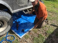
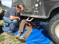
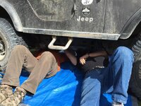
[FONT=&quot]I don’t know what is the better part of these trips, the wheeling, or the camaraderie shared by all who come. BillD and Carol returned to town before we all headed out for the second trail, but when we got back, everyone pitched in and got their Jeep up and running again. I think I enjoyed this even more than the trail ride that day.[/FONT]


[FONT=&quot]Posi about to start on the repairs[/FONT]

IMG_20160818_162049860_HDR%20Custom_zpsxq0a8how.jpg


[FONT=&quot]Posi & BillD evaluating the problem[/FONT]

IMG_20160818_164328083_HDR%20Custom_zpsvz0jtr2s.jpg

[FONT=&quot]Rad and BusaDave waiting to see what needs to be done[/FONT]

IMG_20160818_164411602%20Custom_zpsomakthu2.jpg

[FONT=&quot]The back of our truck may be a mess, but bringing a ton of tools on a CJ trip turned out to be a good idea.[/FONT]

IMG_20160818_164549965%20Custom_zps0lsigfar.jpg


IMG_20160818_164558174_HDR%20Custom_zpsz1j9yz1c.jpg

[FONT=&quot]Shooby and Bass modifying some parts in order to get the driveshaft back in.[/FONT]

IMG_20160818_164359915%20Custom_zps5adbpzgr.jpg


[FONT=&quot]BusaDave further modifying parts in order to get BillD and Carol back on the trail[/FONT]

IMG_20160818_164227234%20Custom_zpsomcvqw9g.jpg


[FONT=&quot]OJL & BusaDave look on as repairs proceed. [/FONT]

WP_20160818_010%20Custom_zpsrdvxk99f.jpg


[FONT=&quot]BillD taking his CJ out for its first trial run.[/FONT]


IMG_20160818_180358966%20Custom_zps2a59hmsc.jpg
 
Thursday

We started out to do Brooklyn Trail and Corkscrew Pass. Carol was to drive again but we had barely gotten started when my Jeep tried to disassemble itself again. This time the front u-joint on the rear driveline came apart. We opted to remove the driveline and go back to the motel rather than attempt Corkscrew Pass with only the front axle and no rear locker (or anything else). We went back to the motel and started assembling things we would need to put the driveline back together. I had a new spare Spicer u-joint but several of the cap/strap bolts on the old one had broken or were bent. I was able to find replacement bolts in Silverton but they were cap screws with ½” heads whereas the originals were either 3/8” or allen head bolts. When the group got back in, we started on repairs EVERYBODY chipped in and went to work on doing the repairs. We had folks obtaining washers, another group was filing flats on one side of them, Posi and MrIPlayBass on their backs underneath the Jeep and OldJeepLady handing tools. I can’t begin to express my gratitude to this great group of folks for all their help to keep me on the road. This jeep was still going in spite of being held together with Jeep Band-Aids and magic. And we still had Poughkeepsie Gulch ahead of us.
 
Thursday was my last day, but it was my wife’s first time at the wheel of my CJ – ever. We took US550 out of Silverton to the head of Brooklyn Trail. This is a little 45minute up and down that takes you over Red Mountain Pass at about 12,800 or so. It’s a P E R F E C T beginner trail and I must say my wife did an excellent job. She was nervous at first, but she listened and nailed it!

When we got done we drove on up US550 to the head of Corkscrew Gulch (one of my favorites). We took this trail up and back in to the basin behind the Red Mountains. We found a perfect camping spot (for next year) around treeline. We took this trail (and a few others) and wound up back in Silverton


Here’s a quick video of us heading back to Colorado Springs on US50 between Salida and Canon City…love this stretch of road…
https://www.youtube.com/watch?v=HLuPHY-LruI
To view this content we will need your consent to set third party cookies.
For more detailed information, see our cookies page.
 
Day 6 - Friday, August 19th, 2016
Lower Engineer Pass Trail, Poughkeepsie Gulch, Hurricane Pass, Cinnamon Pass

The last day of trail rides I have always left the itinerary up to the group. I would always ask if they wanted a mild scenic route or a challenge such as Poughkeepsie Gulch. For the last few years the majority has always voted to go over Poughkeepsie Gulch. This is a difficult trail the requires a locker (although Posi did it last year in a YJ with open differentials). He's the only one I have ever heard of that made it up there without lockers.
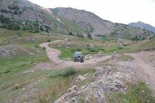
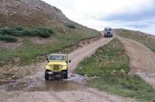
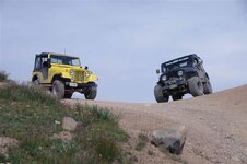
So it was decided. To get to Poughkeepsie Gulch we went up Lower Engineer Pass Trail the opposite direction we went the other day. I love this trail. It has lots of rocks and a few challenges. When we got to the fork to Poughkeepsie Gulch we stopped to play in the mud.
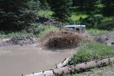
29015719002_d6871ae99c_b.jpg
From there the trail started off mild. Then it started to climb.
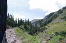
29088382206_d7fc6a8571_b.jpg
29015718002_b3f6e97693_b.jpg
Then we got to a rough and rocky spot that we went through one at a time, often spotting each other.
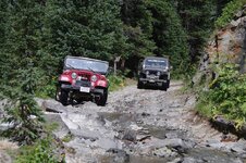
28502171803_8fe3b05996_b.jpg
29088381006_9e588a235c_b.jpg
29015716622_4af15c4f45_b.jpg

29088379436_4615eb07ed_b.jpg
MrIPlayBass directing OldJeepLady​

29015714892_a290cf1882_b.jpg
29088335216_7ec39e17be_b.jpg

Then we got to another spot with big rocks and Posi got out to spot people through.
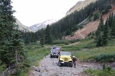
28834458550_f2710f4b2e_b.jpg
28834459520_2cafcd14d9_b.jpg

28502170753_34e0609824_b.jpg
Bill's 1980 CJ5
29088376156_6e236e3652_b.jpg

29015689512_023a1b62e0_b.jpg
Posi's 1969 CJ5
29015711502_5104215813_b.jpg
29088374866_61fbce85dc_b.jpg

29088374006_f1f0b51c27_b.jpg

The hardest part of Poughkeepsie Gulch is "The Wall". This is a rock ledge near the top of Poughkeepsie Gulch. Actually it's 2 ledges. The lower ledge has developed a few years ago as dirt has eroded away exposing a smaller ledge just below The Wall. Not everyone wanted to take their Jeeps up The Wall but there is a bypass that was built almost 2 years ago. Everyone came up to the wall even those that didn't expect to attempt it. It was a short trip to backtrack to the bypass.
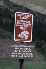
29088373256_ac5f8644e4_b.jpg
28834463130_d635a23555_b.jpg
Even after the bypass fork there was still rough spots before The Wall.
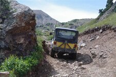
29088373016_7714ee8f9c_b.jpg
29088372656_7ac6b4a1ed_b.jpg
28499374784_bebf34d10c_b.jpg
29088371826_baa67db734_b.jpg
28499373224_7145d9e71b_b.jpg
28834486090_288d6ea1d9_b.jpg
Then we were at The Wall. Last year I reported that "Everyone in our group made it up The Wall and everyone that was not in our group did not make it up The Wall". Sadly I can not say that again. This year The Wall humbled us. We all struggled up The Wall. All except MrIPlayBass. He was the only one to make it look easy.
I was the first to go up The Wall. I'm the guide so it's like "go on Dave, show us how it's done". No one actually said that but that's how I felt. So lined up my jeep, locked my OX locker differential and headed up the Wall. First I had to go up the smaller ledge before the Wall. The first bump was too much for my carburetor and my engine died. I restarted my engine and continued up the Wall. I was going slow and started to spin all 4 tires. I backed down. Now I was too far to the right and took some time to reposition myself. There isn't much room between the lower ledge and the Wall so it always takes a while to move over. Then I tried again, this time I knew I needed some momentum but not too fast. I was able to make it up on this second attempt.
Next up was MrIPlayBass.
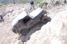
28499372134_690f36c727_b.jpg
Notice the hole near his right rear tire. He was lined up nicely to avoid that. And on his left is a big rock slope. You need the correct line to avoid rolling your jeep.
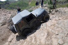
28834484620_11bc0d2171_b.jpg
MrIPlayBass had the correct line. He made it up and over on his first attempt. Impressive!

Next up was Bill
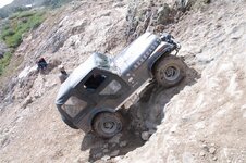
28499370904_8cf47d5e71_b.jpg
He made it up the lower ledge and started up the Wall. He got some wheel spin, stopped his progress and came back down.
He was too far over. As I said, there isn't much room to reposition so he went back down to the bottom and tried again.
This next picture is Bill going up the lower "easier" ledge again.
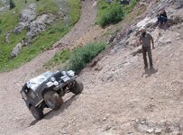
28499370274_770f72a151_b.jpg
Then he continued up the Wall.
28834481960_7af1c950ce_b.jpg
But he was too far to the left. His left tires were climbing the rock ledge we all wanted to avoid. He was dangerously close to rolling his Jeep. We all yelled "RIGHT! RIGHT! RIGHT!" but with the engine and tires screaming he didn't hear us. He realized his situation too late and came to a stop atop the rock at such an angle we were still worried about rolling over his Jeep. No one, absolutely no one had any pictures or video of him at those extreme angles. His wife took a good video but when Bill started to tilt at dangerous angles she dropped the camera to her side and although the video didn't show anything but the ground, the audio recorded screaming, yelling and several swear words none of us ever expected to hear coming from Carol's mouth.
Posi stood on Bill's left foot step with hopes that the extra weight on the left would prevent the jeep from rolling. Bill was able to move forward, away from the rock ledge.
After The Wall we continued on to meet up with Shooby and Posi who used the bypass.
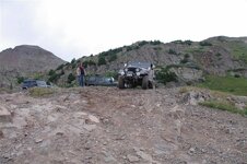
28499367714_2ee151f26b_b.jpg
28834478240_a2cea242ae_b.jpg
28499366914_4579f9815a_b.jpg
29015701102_d604c7ff99_b.jpg
28499366274_5d740e9981_b.jpg
29015700492_ba31426cc2_b.jpg
28499365484_1fb4a38e02_b.jpg
28499364834_4eaba03a3c_b.jpg
After Poughkeepsie Gulch we headed up and over Hurricane Pass
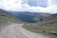
28502199243_21f040b727_b.jpg
28499364024_41e733b5b3_b.jpg
28502197783_383cc09a1b_b.jpg
28499362774_766b986022_b.jpg
28499361914_36c96eb2b5_b.jpg
29121191515_08a06ac46f_b.jpg
Once again we ended up on top of Corkscrew Pass.


I think the conversation went something like this:"We're on top of the world" "Or at least the top of Cinnamon Pass" Top? Then Posi said "See that trail going up that mountain? Can we go up there and turn around?" I said "yes, there's room up there to turn around." "That sounds like a challenge" So we drove up the spur that took us up Red Mountain number 2 and to the other side. (There are 3 mountains next to each other all called Red Mountain number 1 through 3)
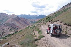
28499359594_eb87a45a5a_b.jpg
29088362616_fc6c0541f4_b.jpg
28499359104_0836b9878d_b.jpg
29088361086_2274a44e4e_b.jpg
28499358214_134b5ac64d_b.jpg
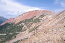
This next picture shows the main Corkscrew Pass trail that we'll be on shortly to get back down.
29088359556_18a345d393_b.jpg
28499360174_01da07a2a0_b.jpg
29121190125_fe3d83c721_b.jpg
28834466450_1cbcd73778_b.jpg
29121190705_f677cc9ee0_b.jpg
28834465980_d472c3410c_b.jpg
29088355566_9d7f101a6e_b.jpg
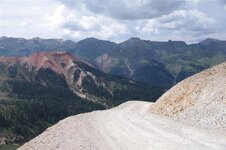
Then we got back on the main trail and headed down.
28499360964_df23a370f9_b.jpg
28834465480_c37c9a4f87_b.jpg
The trail ended at highway 550. That was the end of the 6th Annual Colorado Jeep-CJ trail ride. We headed back to Silverton for dinner and then we parted ways.

I'm already looking forward to the 7th Annual Colorado Jeep-CJ trail ride.

Map of today's route: https://spotwalla.com/tripViewer.php?id=1210b57c1a689f2bff
 
Last edited:
Early Friday morning in Sliverton

29007700220_981caa0f8a_b.jpg


29217228841_f28f4ab2a8_b.jpg


29217228671_b2457b87f1_b.jpg


29007699420_bf708981b0_b.jpg


At the Wall

29007699110_0c99d3f6be_b.jpg


Found some snow

29007698840_44c3b3ddee_b.jpg


29295784655_1d790793ed_b.jpg


29295772185_941429f8c7_b.jpg


29007698260_fc8a4446fb_b.jpg


29217227541_6d88f80de6_b.jpg


29007697620_6825c3278c_b.jpg


29007697430_5fe7314fce_b.jpg


29007697280_b4e347d787_b.jpg


29187698272_b5682fc36e_b.jpg


29217227011_cc1eefcac0_b.jpg


29007696950_b776c4afba_b.jpg


29007696640_d8d9eddfa5_b.jpg


28673262204_6b2dd5b5bc_b.jpg


29217226601_6012a38d05_b.jpg


29261992726_c15b7ea407_b.jpg


29007695730_da468a0008_b.jpg


29261992296_18af0eebf6_b.jpg


29217225771_67e4446e08_b.jpg


29261991786_3045941775_b.jpg
 
Friday

Up highway 550 toward Ouray to the lower Engineer Pass trailhead. On up Lower Engineer Pass Trail to Poughkeepsie Gulch entrance. Those warning signs telling us that we really, really ought to have four wheel, lockers everywhere, winches, wenches, (OK, maybe the “wench” part was wishful thinking) and guardian angels before even thinking about venturing further are really there. Up the trail we went. It very quickly became a rather difficult trail and we hadn’t even come to the ledges yet. The ledges. Photos don’t really do these blocks of rocks justice. They are really steep but the problem is that it is hard to get a start up them. Dave went first to show us how it is done and I took lots of mental notes. OK, it really is possible. MrIPlayBass went second and gave a repeat performance of his last years perfect climb. Posi tried it next but the little red Jeep with no lockers, a mostly spent clutch and a big long trailer hitch acting as a plow on the back just wasn’t up to it. My turn now. I could get up to the rock ledge but couldn’t get it to climb further. After having Posi reposition me several times I finally got a good start and gave it a bunch of skinny pedal. Whoops! It climbed right up but went much faster than I intended and ended up well to the left of where I should have been. I scared the snot out of everybody but me. I was too much in shock to be scared. I had actually climbed the ledge in Poughkeepsie Gulch.

To the best of my knowledge, no one took a video as they were too engrossed in seeing me turn a CJ5 upside down (didn’t happen). Carol, my official videographer, has an almost complete video but will not release it due to the colorful expletives she used as I neared the top.
 
[FONT=&quot]Friday 19th[/FONT]
[FONT=&quot]Lower Engineer Pass trail, Poughkeepsie Gulch, Hurricane Pass, Corkscrew Pass[/FONT]
[FONT=&quot]On the way up to Poughkeepsie Gulch wall, I just had to play in the mud a little. Like my shirt says: “I still stomp in mud puddles”. Naturally, there is a picture of a Jeep on it![/FONT]

Cant%20help%20myself1%20Custom_zps0iqjtdmp.jpg


Cant%20help%20myself2%20Custom_zpssibt7mbn.jpg

Cant%20help%20myself3%20Custom_zps2exsn1ev.jpg


[FONT=&quot]VIDEO:[/FONT]
To view this content we will need your consent to set third party cookies.
For more detailed information, see our cookies page.

[FONT=&quot]Posi spotting OJL[/FONT]

si%20spotting%20OJL%208-16-16%20Custom_zpsxuhws4sq.jpg


[FONT=&quot]VIDEO:[/FONT]
To view this content we will need your consent to set third party cookies.
For more detailed information, see our cookies page.

[FONT=&quot]VIDEO:[/FONT]
To view this content we will need your consent to set third party cookies.
For more detailed information, see our cookies page.

[FONT=&quot]BusaDave climbing the wall[/FONT]

e%20at%20the%20wall%208-19-16%20Custom_zpsoyrku5z0.jpg


[FONT=&quot]VIDEO:[/FONT]
To view this content we will need your consent to set third party cookies.
For more detailed information, see our cookies page.

[FONT=&quot]Then Bass[/FONT]

t%20at%20the%20wall%208-19-16%20Custom_zps8sk91fca.jpg


[FONT=&quot]VIDEO:[/FONT][FONT=&quot]
[/FONT]
To view this content we will need your consent to set third party cookies.
For more detailed information, see our cookies page.

[FONT=&quot]Followed by BillD[/FONT]

l%20at%20the%20wall%208-19-16%20Custom_zpsuhnuj4ko.jpg

[FONT=&quot]VIDEO:
[/FONT]

To view this content we will need your consent to set third party cookies.
For more detailed information, see our cookies page.

[FONT=&quot]Given that this was Shooby’s first Colorado trip, and according to him, his first off road experience, Posi, being the good guy that he is, said that he would show him the way around the wall instead of going up the wall in his (new) Jeep. :poke:[/FONT]
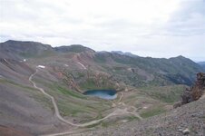
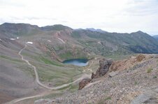
[FONT=&quot]We had an audience while each of us tried our skill on the wall.[/FONT]
[FONT=&quot]
[/FONT]
IMG_0075%20Custom_zpstc1vjngs.jpg[FONT=&quot]
[/FONT]


[FONT=&quot]I don’t know if this doe had a fawn hidden in the bushes, or if she was waiting for a hand out of apples or something, but she stayed all the while we were there.[/FONT]

[FONT=&quot]
[/FONT]
IMG_0074%20Custom_zpsoq6v3sgv.jpg[FONT=&quot]
[/FONT]
[FONT=&quot]
[/FONT]
IMG_0069%20Custom_zpso422vaah.jpg[FONT=&quot]
[/FONT]
[FONT=&quot]
[/FONT]
Deciding%20where%20to%20go%20Custom_zpsdoxp99pg.jpg[FONT=&quot]
[/FONT]
[FONT=&quot]
[/FONT]


[FONT=&quot]Everyone had a great time. It was great that all the ladies not only took to the trails, but took their turns driving over some pretty aggressive terrain. Is it possible that we might have an additional 3 Jeeps in the future? [/FONT]
[FONT=&quot]Though OJL and I stayed a few extra days after everyone had left, it just wasn’t the same. This is the third of what we now consider to be an annual event for us, and we won’t miss it until we are physically unable to make it. I wish we had Star Trek technology so that we could all get together any time we wanted to, but right now, we can only count the days and look forward to next year.[/FONT]

[FONT=&quot]The trip home was just as exciting as the trip there. Just East of Grand Junction CO, Two of the brake drums on the trailer shattered, taking one of the tires along with it. No problem! Fired up the Jeep, hooked up the on board air, and got the impact gun. Tires zipped off , broken parts removed, tires back on, and a real slow and easy trip over the mountains with only two out of four brakes working, sort of. All new drums and brakes should arrive this week.[/FONT]
[FONT=&quot]One of the shattered brake drums[/FONT]

[FONT=&quot]
[/FONT]
WP_20160822_001%20Custom_zpsyae6gdhr.jpg[FONT=&quot]
[/FONT]
[FONT=&quot]
[/FONT]


[FONT=&quot]We can’t thank BusaDave enough for all the time and effort he puts into this every year. Without his trail guidance, and knowledge of the area, things just would not be the same. Anyone who is on the fence about coming next year, needs to try their hardest to make it. You will have the time of your life![/FONT]
 
Well, thanks guys for all the stories,pics, and videos. Looks like just too much fun with great people who made it that way.
 

Jeep-CJ Donation Drive

Help support Jeep-CJ.com by making a donation.

Help support Jeep-CJ.com by making a donation.
Goal
$200.00
Earned
$0.00
This donation drive ends in
Back
Top Bottom
AdBlock Detected

I get it, I'm a Jeep owner and ad-block detectors kinda stink but ads are needed on this site. This is a CJ site, all the ads are set for autos (some times others get through.) I cannot make them just for Jeeps but I try.

Please allow ads as they help keep this site running by offsetting the costs of software and server fees.
Clicking on No Thanks will temporarily disable this message.
I've Disabled AdBlock    No Thanks