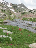
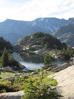
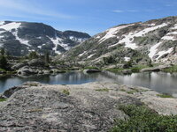
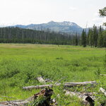
Backpacking in Montana's Beartooth Mountains

Backpacking in Montana's Beartooth Mountains

duffer

Active Jeeper
Posts
466
Thanks
29
Location
Bozeman, MT
Vehicle(s)
1955 CJ3B: Dart/AFR aluminum 441 sbc, AGE M22W trans, "super" D18 w/ TeraLows & OD, FF44 PowrLoc Rear, D44 front-ARB/Reid/Dutchman, 4 wheel discs, York OBA, PP welder, 8274, glass/aluminum body, 33-12.5's;

1968 CJ5: all stock (V6/T86/D18) except 4bbl & headers and rear aux tank, HD rear 44 housing, Warn OD, Belleview winch;

2012 JKU Rubicon: Warn 9.5xp-s in Warn Elite, RSE rear bumper/tire carrier, Mopar lift, 35-12.5's, ARB OBA;

1947 2A and 49 3A that may or may not get built, and several FC/wagon derelicts
My wife and I did a 6 day trip in the Beartooth's last week. The only involvement of a Jeep in this was driving it to the trailhead and parking it. If we would have had another rig along, we would have forded the Broadwater River and driven the Jeep trail up to Kersey Lake but I didn't want to start the trip drowned out in the middle of the river solo.

DAY 1
This trip started and ended at the Chief Joseph Trailhead about 3 miles east of Cooke City (Montana) on US 212. The first day we packed a little over 7 miles with an overall elevation gain of about 1500 feet (starting at an elevation of 8000') and camped at Bald Knob Lake. This was all on FS Trail 3, referred to locally as "the beaten path" and I am guessing we saw about a dozen people and one horse pack train. So follow along, here we go:
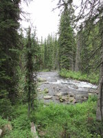
Broadwater River about 100 yards from the trailhead. One of the canines just about put her pack in there and I ended up "lunchboxing" both dog packs from that point as there wasn't room for them in the pack.
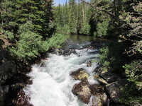
14805253406_bb06080621_b.jpg

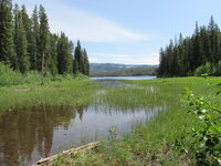
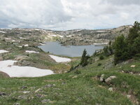
Lower Kersey Lake, about a mile in.
14825202051_0a6c141e23_b.jpg

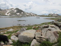
Looking back at Kersey. I believe that is Henderson Mountain in the background
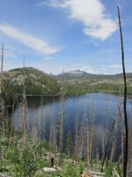
14828247975_68a508946f_b.jpg

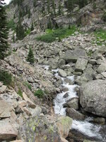
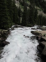
Russell Creek:
14641690027_3502b05a10_b.jpg
14828223195_c7f887bcac_b.jpg
14825821714_1098f3bf59_b.jpg

Ouzel Lake:
14641522039_82fd813364_b.jpg

Bald Knob Lake:
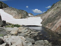
14825798954_4b5c702dfc_b.jpg
 
DAY 2

Day 2 continued of FS Trail 3, past Skull and Fossil Lake and descended into the East Rosebud Creek Drainage. We departed the trail (now FS 15) above Dewey Lake and began a lot of miles of bushwhacking-maybe better termed boulder whacking in this place. After leaving the trail, we proceeded up the Cairn Lake drainage to Oly Lake and set up camp above the lake.

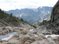
Looking back at Bald Knob Lake:
14825067451_0affe51e05_b.jpg

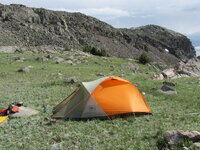
Skull Lake:
14825775474_58e5348d42_b.jpg

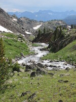
Fizzle Lake:
14805118506_2b15d56fbd_b.jpg

Fossil Lake, right at the top of the divide between East Rosebud Creek and the Broadwater River, just short of 10,000' elevation:
14847960323_a0ed0e2c4d_b.jpg

Looking north into the E. Rosebud Creek drainage:
14827740842_2b3c6f93d1_b.jpg

East Rosebud Creek:
14825731094_3423a12f33_b.jpg
14805072636_e85f9d3c16_b.jpg

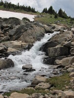
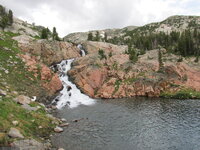
Cascades and plunge pool below Oly Lake. At this point we were about a half mile off the trail:
14847911593_c89e6b2199_b.jpg

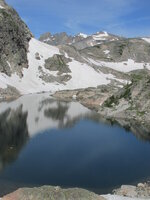
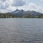
Oly Lake with Summit Mountain in the background. This is where we spent the second and third nights.
14847898703_d8a0a69f69_b.jpg
 
DAY 3

Day 3 consisted of a day hike to Cairn Lake and return. Cairn is probably my most favorite place in the Beartooth's and also home to some 8lb brookies although we didn't do any fishing there on this trip.

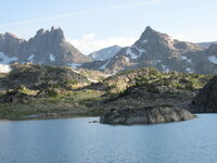
Puddle above Oly Lake:
14847870323_9ecb5058b2_b.jpg

Cairn Lake "afterbay":
14641344389_6469ecab3c_b.jpg

Cairn Lake with the Spires and Mount Villard in background:
14824901461_ff1a965376_b.jpg

Another shot of Cairn:
14641433437_f89fb26089_b.jpg

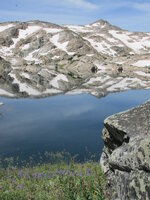
Puddle with Summit Mountain in background:
14641334068_d1c547477e_b.jpg

Mount Dewey and more water:
14824866431_e29f0d5fbe_b.jpg

14847784203_76212304fd_b.jpg
 
DAY 4

Day four was only about 4 miles. That said, it was a very rough four miles and a lot of "hey, we can't get there from here moments" along with a few adrenalin shots. This leg of the adventure started at Oly Lake and ended at Lone Elk Lake on Sky Top Creek.

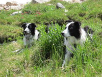
Can't have a thread without the kids-at Oly Lake:
14847763823_c86e4caced_b.jpg

14847748433_41bbab3d27_b.jpg

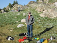
The easy part of the drainage above Oly Lake:
14824806071_347374040a_b.jpg

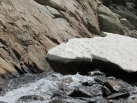
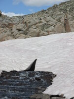
It quickly became not so easy. After chipping enough of the snow away here so I was pretty sure I wouldn't fall in this, it was 4 trips in crotch deep water across this with 2 dogs and 2 packs. Still almost lost a dog under the snow bank and it was a steep 150' before she would have came out the other side.
14847724583_14fe0f5853_b.jpg

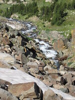
We were able to walk across the next one:
14641158810_28409aed74_b.jpg

Just more trail:
14641205919_79a3420fac_b.jpg
14641218568_70eec7f3fd_b.jpg

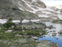
Once we managed to get through the "slot", the drainage opened into a large bowl with several no-name lakes:
14641298817_01cc395cb6_b.jpg
14641287537_7eca7b6c58_b.jpg
14641189638_98da9975f6_b.jpg

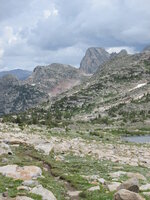
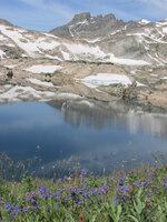
We broke over the top at about 10,300' at Lower Sky Top Lake. The Spires and Mount Villard in background and we were really hoping the boomers would refraine from from dumping on us in this spot.
14641257457_51eef2e467_b.jpg

Sky Top Creek with Rough Lake in Background:
14641247277_7394c59a84_b.jpg

14825418594_48fe040a2b_b.jpg

Rough Lake and some more wonderful bouldering:
14641132698_82981c7490_b.jpg

Lone Elk Lake and the Spires:
14827754425_ba0a569796_b.jpg

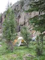
Camp at Lone Elk:
14641200707_6424f0701b_b.jpg
 
DAY 5

Day 5 was from Lone Elk down Sky Top Creek a little over a mile and then cut uphill to the south past Pneumonia, Splinter, and Finger Lakes to a camp at Moccasin Lake. It was another pretty invigorating 4 miles of boulder bashing.

Sky Top Creek below Lone Elk. We could have saved some boulder bashing by crossing this thing but it was a lot more water moving way faster than we wanted to get into:
14804724926_9f4dfa4346_b.jpg

Looking back at Lone Elk:
14641069189_cffbeed1d3_b.jpg

Yours truly and the camp kitchen (breakfast) at Lone Elk and I lied, there is another Jeep related item: the Willys hat:D
14827712035_eb1f85a21f_b.jpg

More Sky Top Creek below Lone Elk:
14825333894_3c4a92614d_b.jpg
14641030319_60afe22372_b.jpg
14847510913_961b4b9f85_b.jpg

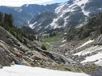
Climbing out of Sky Top Creek. The flat top peak in the background is Granite Peak, the highest point in Montana at 12,802'.
14804645406_11b566d9c8_b.jpg

Pneumonia Lake-camped here once about 2 decades past:
14641101077_798e9b7e12_b.jpg

Upper end of Splinter Lake:
14825271494_152112379a_b.jpg
14640992928_017715d3e6_b.jpg

Finger Lake:
14640956099_b9f833f348_b.jpg

Outlet of Finger Lake with Mount Zimmer in the background:
14640967318_c2becb6301_b.jpg

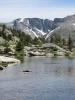
Moccasin Lake:
14827217172_b4d1b59aeb_b.jpg
 
Last edited:
DAY 6

Eternal hope dashed again, the last day was another rough one. My wife and I had been down this same route in 92 and I was hoping (in vain) that 22 years would have made it a bit easier. The area around Curl and Broadwater Lakes was another victum of the 1988 Yellowstone fires and when we went through there in 92 we spent a lot of time crawling under and over burnt trees and changed races in the process. This time there was a lot less charcoal and most everything was on the ground but it still took better than 2.5 hours to make it the 1.5 miles around those lakes. The cleared FS trail at the outlet of Curl was a very welcome site.

Camp at Moccasin Lake:
14827573995_dcfaeaa25f_b.jpg

14640948698_03bd277b10_b.jpg

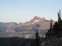
Pilot and Index Peaks from Moccasin Lake:
14827549965_35fe443c4e_b.jpg

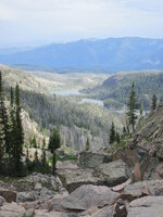
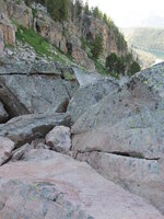
More quality trail-actually had to revive some of the old rock climbing skills to get off some of this. Lost a 1000' elevation in half a mile. Curl (left) and Broadwater Lakes in background:
14825195694_e0767620b9_b.jpg

14824450381_5c048b958f_b.jpg

14640819080_1c70063949_b.jpg
14640885688_5458c34f1f_b.jpg

Curl Lake, Pilot and Index in background:
14640853059_69a25ff9d7_b.jpg

Almost back to the trailhead. Wet meadow on Sedge Creek below Kersey Lake. I believe that is Sheep Mountain in the background.
14640782180_590aef9325_b.jpg

Epilogue: I had some serious doubts as to how well various body parts were going to take this trip but other than the usual attributes of being a geriatric club member (69 years young), it came off really well. The total mileage was about 30 with only 12 or so on-trail. Already thinking of another for next summer.
 
Great pis of a great trip. I would never be able to keep up with you and you have over 10yrs on me :notworthy: thanks for sharing.
 
You make me want to dust off the backpack and head up into the Uintahs. :drool:(Mountain range North of me. Highest Peaks in Utah)

Great pitchers, Thanks for sharing.
 
John, thanks for sharing, excellent shots, looks like you all had a great time.
 
Amazing scenery, and some good looking Border's too ;) Thanks for the pics :notworthy:
 
I find it interesting that you left your Jeep at the trailhead for six days, which also seems to get quite of bit of visitors. From what I hear, the best way to leave your vehicle at a backcountry trailhead is with the doors open and the keys in it. Not to mention what would happen if you had left a candy bar under the seat or some other hidden place. I once left a loaf of bread in a tent while doing a trail in the Sierra Nevada Mtns., and the next day my wife left her makeup bag in my spare tent that I brought along. I had only brought 2 tents so I had to go home after that stupid move.
 
I find it interesting that you left your Jeep at the trailhead for six days, which also seems to get quite of bit of visitors. From what I hear, the best way to leave your vehicle at a backcountry trailhead is with the doors open and the keys in it. Not to mention what would happen if you had left a candy bar under the seat or some other hidden place.

Absolutely agree with that and was actually surprised nothing was missing when we got back. I did change out the winch fasteners to a couple of combinations of pin-in-torx and pin-in-hex buttonheads before we left for this but hanging a rip on the winch rope would have taken all of a minute or so.

We are also very careful with the food. While black bears can certainly cause some damage, they rarely will attack you. Grizzlys don't even need a bad hair day for that.

I don't leave the keys there but don't lock doors in the backcountry. On the CJ's with a soft tops, it's a moot point anyway.
 
Visiting the backcountry is not without its risks and if you go enough, odds are something is going to happen. All you can do is prepare for a possible issue, like bring your credit card. Usually things work out just fine anyway.
 
awesome post.... right there with ya. keep that outdoor spirit going.:chug:
 
Beautiful scenery along with an outstanding trip...........Thanks for sharing.
 
Visiting the backcountry is not without its risks and if you go enough, odds are something is going to happen. All you can do is prepare for a possible issue, like bring your credit card. Usually things work out just fine anyway.

True. And while my wife and I tend to think grizzlys are the biggest potential hazard, in reality, just taking a fall in one of those boulder fields is orders of magnitude more likely to cause some serious problems. I carry adequate first aid supplies but if one broke a leg, you would still be in deep dodo.
 
Thank you! Those pictures sure make me miss Montana. It truly is Gods country :)
 

Jeep-CJ Donation Drive

Help support Jeep-CJ.com by making a donation.

Help support Jeep-CJ.com by making a donation.
Goal
$200.00
Earned
$10.00
This donation drive ends in
Back
Top Bottom